Species Report
Bell`s Vireo
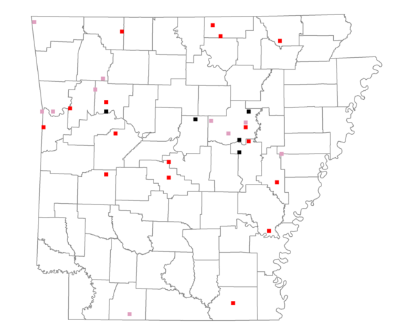
Total number of 2,500 hectare plots where this species is found: 31 ( 3.5% of plots )
| CATEGORY | Hectares, 1994 | % of Total, 1994 | Hectares, 1999 | % of Total, 1999 | Hectares, 2004 | % of Total, 2004 |
| Forest - Total (All Categories) | 36269.7 | 42.15 | 39299.8 | 50.71 | 41573.7 | 53.65 |
| Ozark-Ouachita Pine-Oak Forest | 11520.0 | 13.39 | 10139.2 | 13.08 | 9980.3 | 12.88 |
| Ozark-Ouachita Dry Oak Woodland and Forest | 2644.2 | 3.07 | 1441.9 | 1.86 | 1371.6 | 1.77 |
| Central Interior Highlands Glade and Barrens | 561.6 | 0.65 | 454.5 | 0.59 | 454.6 | 0.59 |
| Mesic Hardwood Forest | 61.6 | 0.07 | 50.3 | 0.06 | 52.8 | 0.07 |
| Dry-Mesic Oak Forest | 8741.5 | 10.16 | 7012.1 | 9.05 | 6962.0 | 8.98 |
| West Gulf Coastal Plain Pine-Hardwood Forest | 3208.8 | 3.73 | 2701.5 | 3.49 | 2482.5 | 3.20 |
| West Gulf Coastal Plain Small Stream Forest | 65.1 | 0.08 | 43.7 | 0.06 | 57.7 | 0.07 |
| Lower Mississippi River Low Bottomland Forest | 2091.7 | 2.43 | 1576.7 | 2.03 | 1642.4 | 2.12 |
| Lower Mississippi River High Bottomland Forest | 6486.0 | 7.54 | 5291.6 | 6.83 | 5357.7 | 6.91 |
| Lower Mississippi River Bottomland Depression | 176.6 | 0.21 | 149.9 | 0.19 | 151.5 | 0.20 |
| Lower Mississippi River Riparian Forest | 12.3 | 0.01 | 4.1 | 0.01 | 8.8 | 0.01 |
| Sweetgum | 700.3 | 0.81 | 604.6 | 0.78 | 616.6 | 0.80 |
| Forest - Unknown Category | 0.0 | 0.00 | 9829.6 | 12.68 | 12435.4 | 16.05 |
| Cropland | 19258.7 | 22.38 | 10981.9 | 14.17 | 9121.6 | 11.77 |
| Pastureland | 24160.6 | 28.08 | 20333.5 | 26.24 | 19284.0 | 24.88 |
| Herbaceous | 198.5 | 0.23 | 1051.9 | 1.36 | 997.3 | 1.29 |
| Bare/Barren | 0.3 | 0.00 | 6.1 | 0.01 | 11.5 | 0.01 |
| Urban | 496.5 | 0.58 | 886.1 | 1.14 | 2103.2 | 2.71 |
| Water | 3365.0 | 3.91 | 2888.7 | 3.73 | 2347.6 | 3.03 |
| Unknown (No Data) | 2294.6 | 2.67 | 2049.2 | 2.64 | 2058.4 | 2.66 |